Staff of the Florida Natural Areas Inventory combine a wide range of training, experience, and skills related to conservation science. We bring this expertise to bear every day with project partners, decision makers, data clients, and the public. Some highlights:
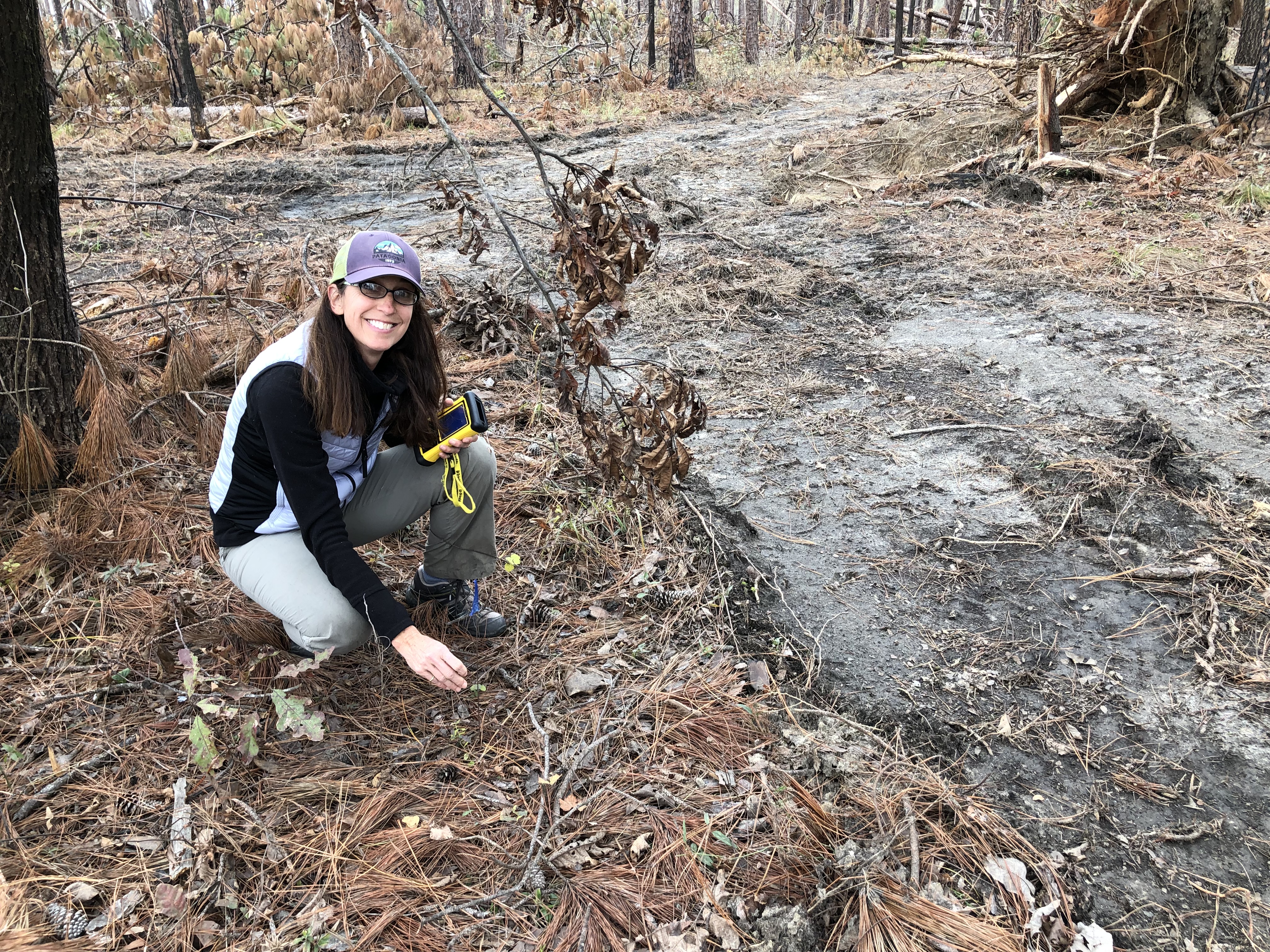
Our staff of botanists, zoologists, and ecologists, some of whom have been with our program for more than 30 years, serve as an institutional memory for conservation in Florida. We conduct a wide range of ecological field work from rare species surveys to complex analytical studies examining the interaction between species and their habitats.
Highlights:
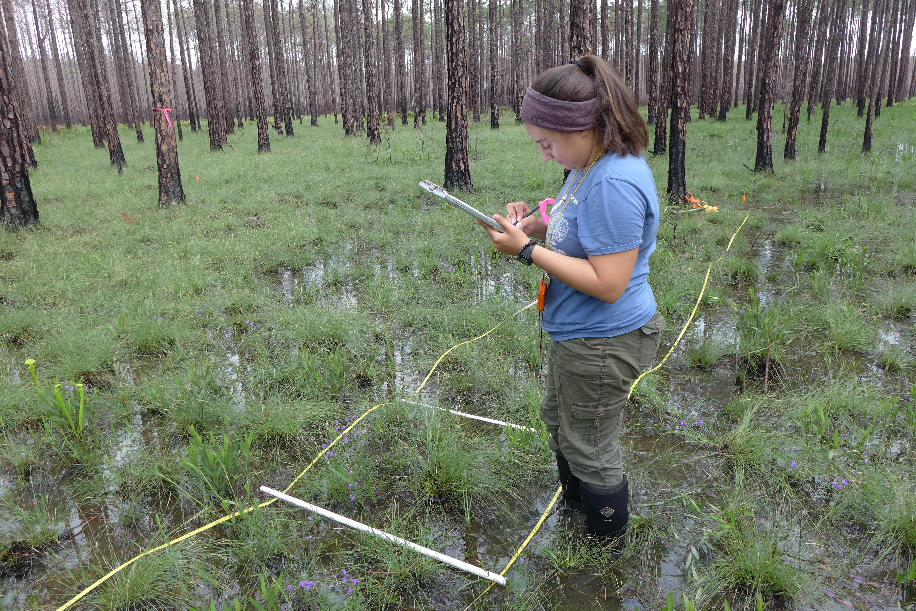
In addition to their scientific expertise, FNAI staff are knowledgeable of the techniques used to manage Florida's conservation land and they appreciate the complexity of land management decision making. We work closely with our partners at federal and state land management agencies to support and inform their work on conservation lands. Projects include monitoring ecological response to management efforts, natural community mapping and monitoring, and historical vegetation mapping.
Highlights:
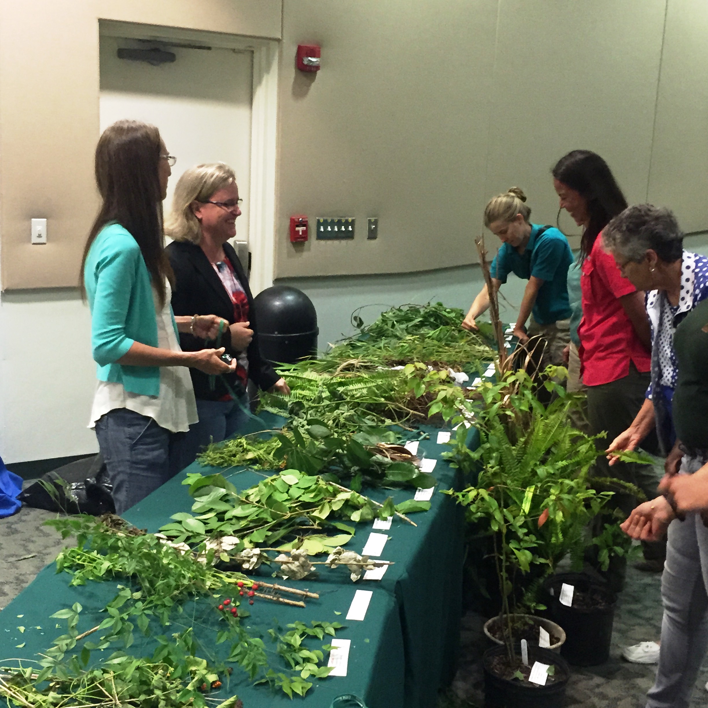
FNAI staff conduct invasive plant surveys using quantitative methods to estimate both gross and net acreage of infestation. We also regularly conduct evaluations for contracted invasive plant control projects, assessing treatment area coverage and percent control of target species. We are experienced in using LIDAR and plant community mapping to predict where uncommon EDRR (Early Detection and Rapid Response) invasive plant species may occur. We can also provide treatment recommendations for site managers to help prioritize species to target in their invasive plant control program.
Highlights:
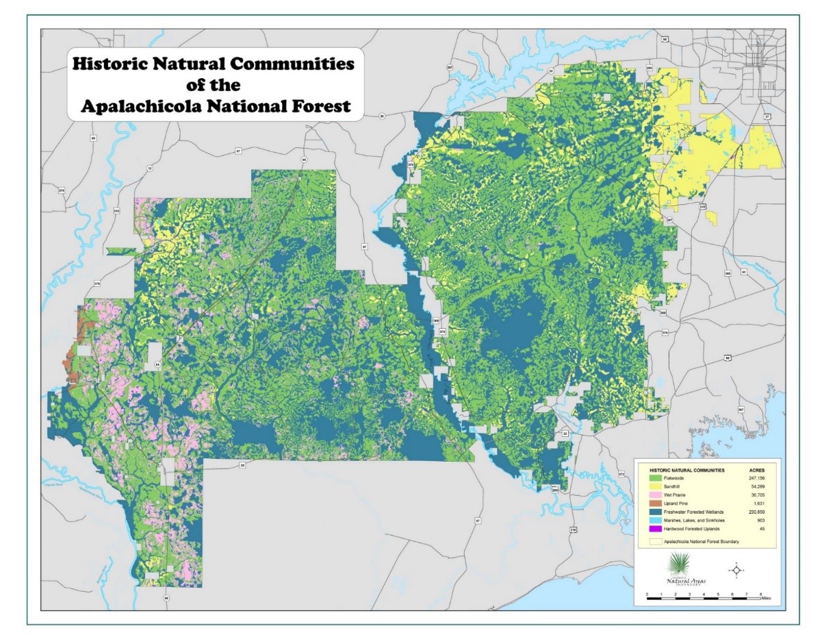
FNAI staff are highly experienced in land cover classification and interpretation of remote-sensed imagery. We collaborate with Florida Fish and Wildlife Conservation Commission on the Cooperative Land Cover (CLC) dataset - a "best available" land cover compilation for the state of Florida. We map natural communities from historical and current aerial photography before and after field verification. We increasingly use satellite imagery to inform species habitat modeling and vegetation structure and composition.
Highlights:
FNAI staff are at the forefront of developing data and analyses to inform conservation decisions. We provide scientific support to the Florida Forever program to assist decision makers in the challenging task of evaluating and ranking land acquisition projects. We are partners on the Critical Lands and Waters Identification Project (CLIP), a statewide database of conservation priorities to inform a broad array of planning efforts. Our work on predictive species habitat mapping is increasingly informing state and federal agency species assessments.
Highlights:
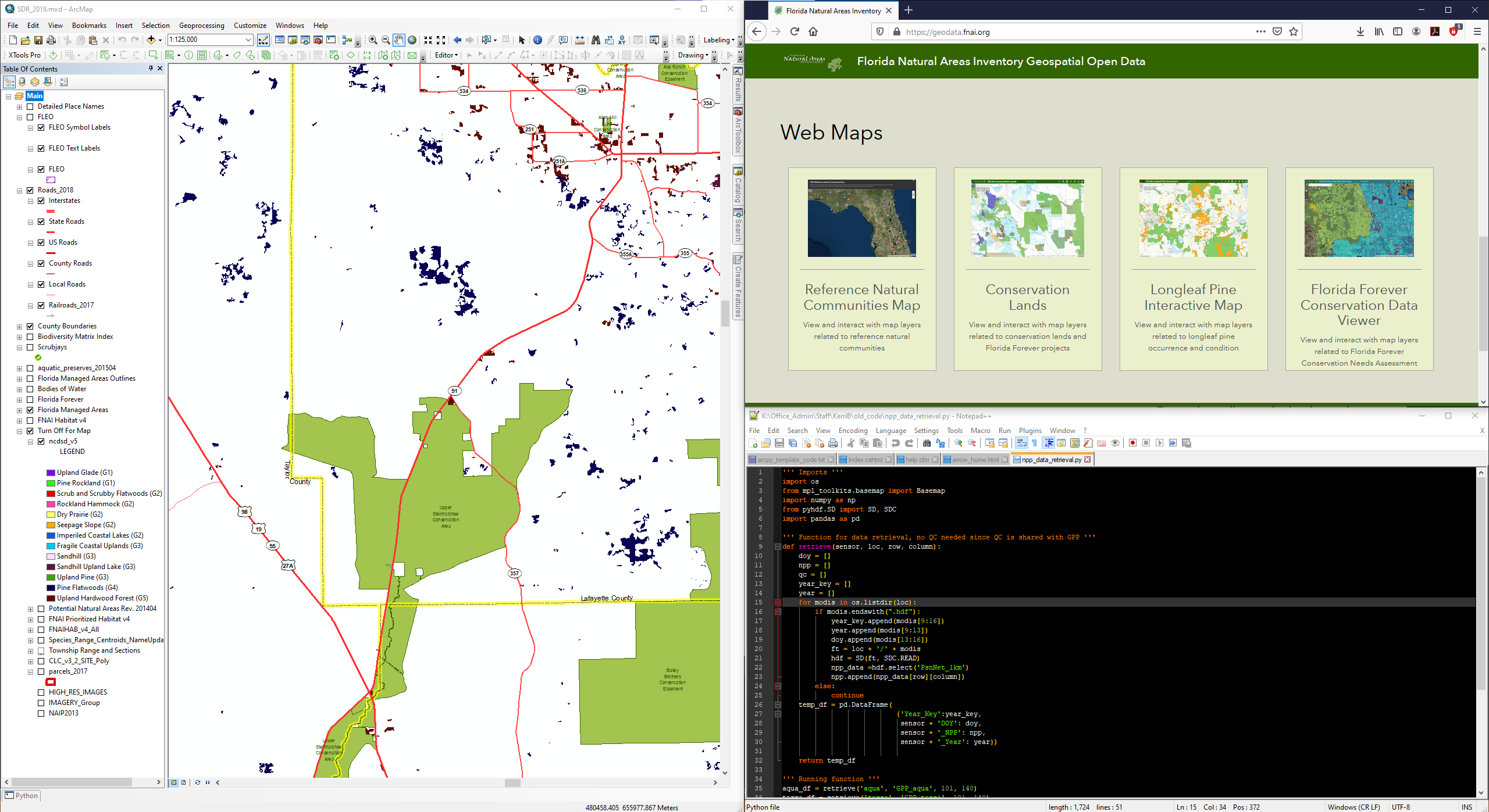
FNAI GIS analysts and data managers help to keep the wealth of data we collect and compile organized and accessible to support conservation decision-making. We are highly experienced in the full suite of ESRI products, relational database software, as well as the use of R and Python for data manipulation and analysis.
Highlights:

© 2020-2026 - Florida Natural Areas Inventory. We follow Florida State University's Privacy Policy
